
Accommodations in Wolphaartsdijk
Make your choice simpler
Location accommodation
Facilities (Outdoor)
Facilities (In)
Suitable for
General data
Accessibility
Keuken
Wellness
Commission paid on bookings, along with other factors, can influence the ranking of properties. Read more about the parameters that determine the ranking and how you can select and adjust them. More information
Group accomodation Wolphaartsdijk
- Glamping
- Unique spaces for activities
- Close to Lake Veere
- Quiet location
Group accommodation Wolphaartsdijk
- By the water
- Campfire place
- Sleeping in Safari tents
The group camping area consists of large safari tents with bunk beds and can accommodate up to 32 people. Extra sleeping places are possible with small extra tents (bring your own air mattress). This unique camping location is about 4 km from the Outdoor Center and Climbing Park.
Group accommodation Wolphaartsdijk
- Waterfront
- Located in an outdoor center
- Campfire pit
The group camping area consists of large safari tents with bunk beds and can accommodate up to 56 people. Extra sleeping places are possible with small extra tents (bring your own air mattress). This unique camping location is located about 4 km from the Kanoa Outdoor Center and Climbing Park.
Group accommodation Wolphaartsdijk
- By the water
- Located in an outdoor center
- Campfire area
Wolphaartsdijk is a village in the Dutch province of Zeeland, near the much smaller Oud-Sabbinge. The village has more than 2000 inhabitants and nowadays Wolphaartsdijk is located in Zuid-Beveland, just south of the Veerse Meer.
In the Middle Ages, Wolphaartsdijk and the older Oud-Sabbinge were located on the island of Wolphaartsdijk. To the north of the island flowed the Zuidvliet and the Zandkreek, to the east the Oosterschelde and south the Schenge. During major floods in 1287, the polder of Oud-Sabbinge was one of the few in Zeeland that was not flooded. That didn’t happen to this polder until 1953. The polder of present-day Wolphaartsdijk was younger; There was also a Vliedberg where the village would originate. The vliedberg was excavated in 1844.
In the 16th century, the area had to endure a lot. The Hongersdijk polder was lost after storms in 1530, 1532 and finally the St. Pontian flood in 1552, and due to poor maintenance due to poverty. The All Saints’ Flood of 1570 also caused destruction; the Westkerke and Westerland polders disappeared into the sea until 1665. Prior to the Siege of Goes in 1572, the Beggars also destroyed the churches of Oud-Sabbinge and Wolphaartsdijk.
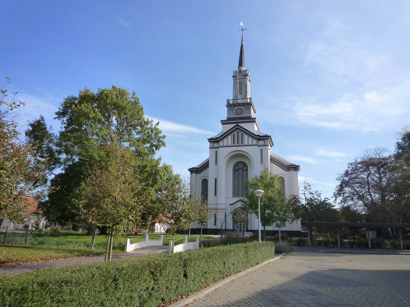
Wolphaartsdijk has a total of six national monuments, including the Oost- or Nicolauskerk, the Veldzicht farm, the De Hoop windmill and the Johannes ab Utrecht Dresselhuis memorial. In addition, an agricultural barn and a wooden jetty of a former ferry are inscribed as municipal monuments of this place.
