
Accommodations in Wapse
Make your choice simpler
Location accommodation
Facilities (Outdoor)
Facilities (In)
Suitable for
General data
Accessibility
Keuken
Wellness
Commission paid on bookings, along with other factors, can influence the ranking of properties. Read more about the parameters that determine the ranking and how you can select and adjust them. More information
Group accommodation Wapse
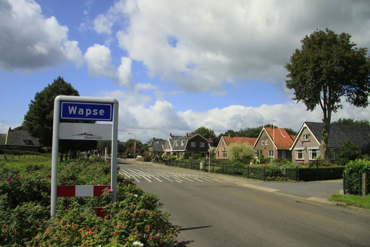
Drenthe, Wapse
- Rural location
- Directly on nature reserve
- Authentic farmhouse
This authentic farmhouse for 16 people is located in the middle of the Drenthe landscape.
Group accommodation Wapse
Drenthe, Wapse
- Rural location
- Directly on nature reserve
- Authentic farmhouse
This authentic farmhouse for 24 people is located in the middle of the Drenthe landscape.
Most of the houses in Wapse are spread along the Ten Darperweg (N855) and are surrounded by meadows with a few pieces of forest in between. Larger forest areas are at very short distance from Wapse, including to the north of Diever. There are also some waters near Wapse, including Kwasloot, Vledder Aa, and the Slingergruppe.
